■ Unregulated flow |
|---|
|
Minimum flows (passing flows) released from Goulburn Weir and flow from tributaries below Lake Eildon. |
■ IVT - Inter Valley Transfers+ |
|
IVT water is held by users that can be traded from the Goulburn to the Murray irrigation areas. |
■ Environmental Flow (elflow) |
|
This is water delivered from environmental water accounts. |
▬ Actual Flow |
|
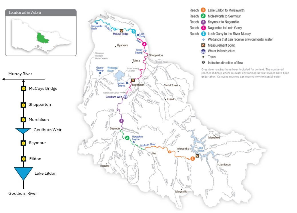
Water flowing down the river is recorded by streamflow gauging stations. The value shown here is the volume of water recorded passing the gauge at McCoys's Bridge. |
▬ Estimated Natural Flow |
|
This value shows an estimate of the flow at McCoy's Bridge if there were no storages, weirs or channels capturing, diverting and altering flows. It uses data from inflows from Goulburn River tributaries and flow into Lake Eildon. |
▬ Minor Flood Level |
|
This is the approximate flow that occurs at McCoy's Bridge when the river level reaches the minor flood level as classificed by the Bureau of Meteorology. Deliveries of water for the environment are well below this threshold. |
Information on this page is provided by the Goulburn Broken Catchment Management Authority. Visit gbcma.vic.gov.au for more details.

